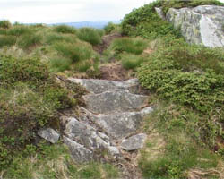
Paths as they are
Elephant Paths pathmaps are situated in mapping service called Tagzania. This enables everyone to create documentations about paths: just create your own user name for Tagzania and start exploring.
 Tagzania
includes tags that help to connect different paths to each other. These
tags create connections in between individual paths in different locations.
The tags are created by myself and are usually describing the function
of the path, the location or connected to the stories collected. The tags
can be explored when you open Tagzania.
Tags can't be found here, though, and they can't be explored on this website.
Please also note that it is easier to read the stories straight in Tagzania
as they can be seen there in full lenght. You can also subscribe to RRS-feed
with geographic information of the Elephant Paths maps.
Tagzania
includes tags that help to connect different paths to each other. These
tags create connections in between individual paths in different locations.
The tags are created by myself and are usually describing the function
of the path, the location or connected to the stories collected. The tags
can be explored when you open Tagzania.
Tags can't be found here, though, and they can't be explored on this website.
Please also note that it is easier to read the stories straight in Tagzania
as they can be seen there in full lenght. You can also subscribe to RRS-feed
with geographic information of the Elephant Paths maps.
On this website, there are individual maps and path summaries of different places. I collect some general thoughts, similarities and notes about paths in each mapped place for path summaries.
Just a
little hint from history: I used to draw the pathmaps by hand before.
They were made as Flash maps with all the material and coordinates included.
They were something like this.
NOTE: I fyou're using Safari -browser, the maps won't zoom in this webste. Please, in this case, open Tagzania.
| Copyright © 2004 - 2010 Mari Keski-Korsu |